Figure 6. Map of Chesapeake Bay, and of Chincoteague Bay with approximate locations of flight lines for 1995 SAV photography.
Download printable postscript file in
unix compressed
or
pkzip
compressed format.
Contents
VIMS SAV Mapping Lab
Last modified 4/2/96.
Please send us your comments.
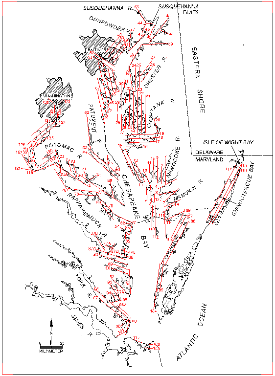 Figure 6. Map of Chesapeake Bay, and of Chincoteague Bay with approximate
locations of flight lines for 1995 SAV photography.
Figure 6. Map of Chesapeake Bay, and of Chincoteague Bay with approximate
locations of flight lines for 1995 SAV photography.